
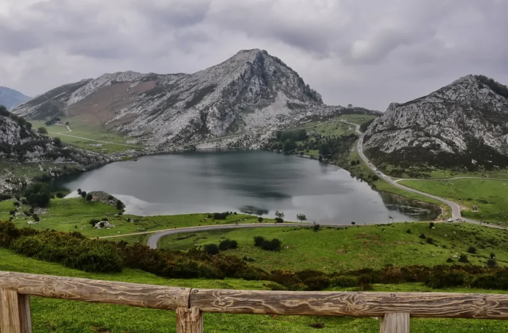
Few images represent Asturias as powerfully as the Lakes of Covadonga. They lie at around 1,134 metres in the Western Massif of the Picos de Europa National Park, above the sanctuary of Covadonga, and they are probably the most photographed corner of the entire range.
Three lakes, though people nearly always mention two
The famous ones are the Enol and the Ercina, and they are the ones you will see in any photograph. The Enol is deeper, with darker water; the Ercina is shallower and ringed by meadow, and it is the one that appears in the classic postcard with cows grazing at the water's edge.
But there is a third, the Bricial, which only holds water during the thaw. For much of the year it is simply a dry meadow you walk past without noticing, and in spring it becomes a lake for a few weeks. If you go up out of season and see a sheet of water where you expected none, that is the one.
How they formed
These are lakes of glacial origin. During the last ice ages, the tongue of ice that filled this area carved hollows into the rock and, as it retreated, left behind deposits of material that acted as a plug. Water gathered in those hollows and has stayed there ever since.
What is remarkable is that they are there at all, because the ground is limestone and limestone dissolves: in the Picos, water tends to slip away into the mountain rather than stay on the surface. These lakes survive precisely because of those impermeable glacial sediments lining the bottom. It is the same geology that explains the caves where Cabrales cheese matures, working the other way round.
Covadonga, the origin of the name and of the park
Before reaching the top you pass through Covadonga, and it is worth stopping. The Santa Cueva, the holy cave set into the rock face, and the neo-Romanesque basilica are the heart of a pilgrimage site with considerable symbolic weight: tradition places here the battle that, according to the classic account, began the Reconquest in the year 722.
That weight also explains the name of Spain's first protected area. When the country's first national park was declared in 1918, it was not called Picos de Europa but the Montaña de Covadonga National Park, and for almost eighty years it covered only this western massif. The extension to all three massifs, and the present name, did not arrive until 1995.
Getting up there
The road climbing from Covadonga is narrow, with tight bends and a considerable gradient. In high season, access by private car is regulated and replaced by a shuttle-bus service from car parks set up below, precisely because space at the top is limited and the setting fragile.
The closure is not a matter of a fortnight: it covers much of the year. Under the current plan it runs over Easter, on May weekends, from the start of June to mid-October, and over the autumn and December public holidays. On those days you go up by bus from Cangas de Onís or from Covadonga, with departures from first thing in the morning and services back down through the afternoon.
The dates change every season, and within the closure period a few individual days are excepted, when you can drive up after all. The calendar, the timetables and the current year's fares are on the service's official website, where it is worth buying your ticket in advance. Checking before you set off is the difference between a perfect morning and turning around on the road.
What to do once you are up there
You do not need to be a serious walker. The Ruta de los Lagos links the Enol and the Ercina on a short, comfortable circular route, fine with children, passing the site of the old Buferrera mines, where iron and manganese were worked well into the twentieth century and remains of the works are still visible.
The Mirador de la Reina, on the road up itself, is an obligatory stop: from there the view opens over the sierra and, on a clear day, all the way to the sea.
For anyone after something serious, the climb to the Vega de Ario is a full day, with real elevation gain and one of the most impressive panoramas in the park: opposite, across the gorge followed by the Cares Route, the entire central massif rises up.
The mountain of the Vuelta
If the name rings a bell even though you have never been, it is probably because of cycling. Since 1983 the Lakes of Covadonga have been a regular stage finish in the Vuelta a España, and that climb — with its brutal ramps on the stretch known as La Huesera — has become one of the race's classic dates. Much of its international fame comes from there.
From Cabrales
From El Ardinal the trip takes up a long morning, leaving the rest of the day free for the Cabrales valley itself. The advice is always the same: go up early, avoid the middle of the day in summer, and expect fog at the top even when the sun is out down in the valley.
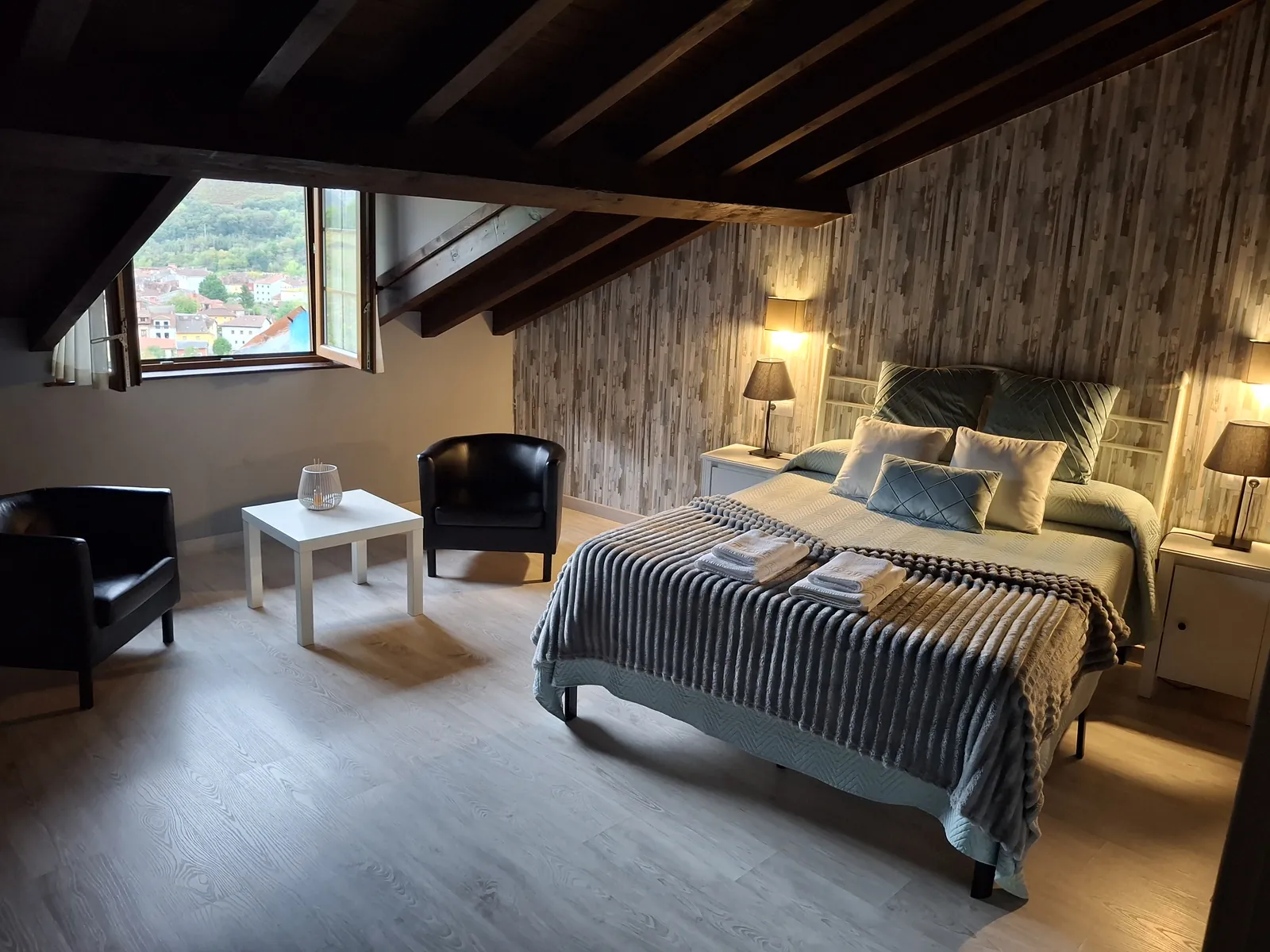
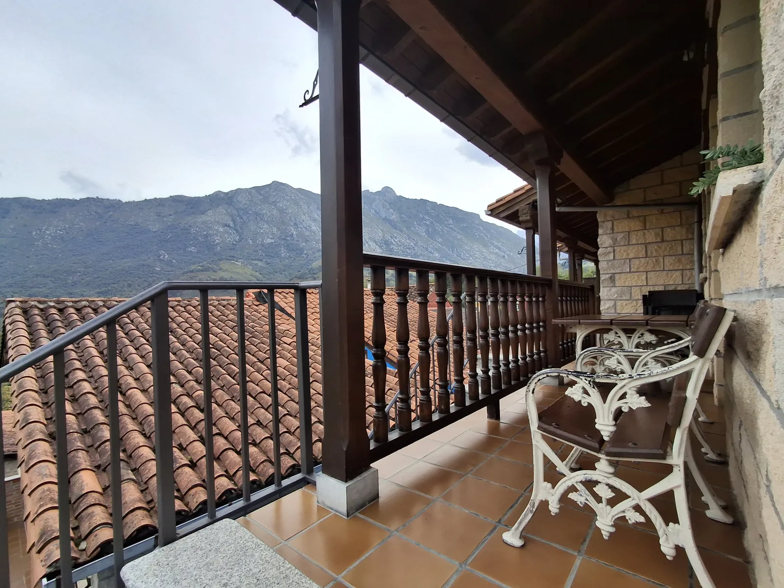
That is why it works so well as a weekend break for two: lakes in the morning, valley in the afternoon. The Casaño apartment, designed for a couple, is the one that best suits that plan, with its terrace for the end of the day.
If the lakes leave you wanting to walk more, these are the essential hiking routes from Cabrales.